 Civil Resilience
Storms
What a named storm does to power, phones, travel and the coast, how the Met Office colour-codes its warnings, and what to secure before the wind arrives.
- Weather
What it is
A storm brings strong winds and often heavy rain. Be Ready says storms disrupt power, internet and phone networks, bring down trees, flood infrastructure and interrupt travel by air, road and rail. You should pay extra attention when the Met Office names a storm, for example Storm Arwen, because named storms are more likely to bring the biggest impacts.
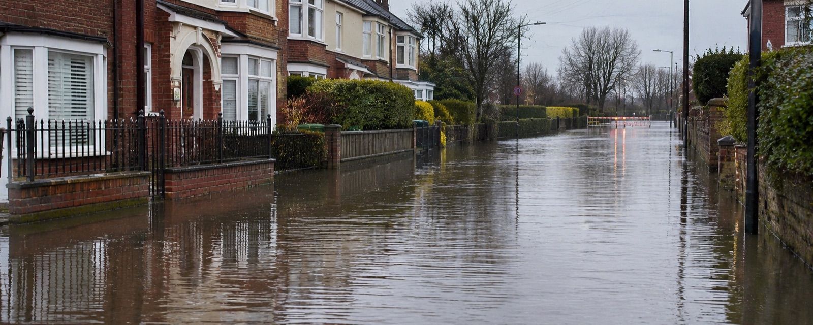
Strong winds raise large waves that flood the coast and drive storm surges, where seawater is pushed towards the shore. Low atmospheric pressure can also lift sea level. Storms can cause severe inland flooding from rain and coastal flooding where surges overtop defences. See flooding.
What it does to a home
Loose objects become missiles. Tall chimney stacks in poor condition can fall, and Be Ready suggests moving beds away from the area directly beneath them. Fallen trees and flooding can damage the water network, so a storm can mean a water supply interruption as well as a power cut and a phone and broadband outage. Thunderstorm activity has been linked to increases in people reporting asthma symptoms, and the UK Health Security Agency publishes information on thunderstorm asthma.
Who warns you
The Met Office issues warnings through the National Severe Weather Warning Service up to seven days ahead for rain, thunderstorms, wind, snow, lightning, ice, extreme heat and fog. A storm often gets a dual warning covering wind and rain together, with a single colour.
The colour combines the impact the weather may have with how likely those impacts are. Yellow covers a range, from likely moderate disruption in a few places to possible significant impacts with low certainty, so read the text. Amber means an increased likelihood of impacts, with possible travel delays, road and rail closures, power cuts and a risk to life and property, and the Met Office says to think about changing your plans. Red means dangerous weather is expected with a very high likelihood of risk to life, substantial disruption to travel and energy, and possibly widespread damage; avoid travel where possible and follow the emergency services. The impact matrix inside each warning shows which box has been ticked. From October 2026 the Met Office, the four hydrological agencies and the Flood Forecasting Centre use a harmonised matrix across weather warnings and flood guidance, with changed impact terminology.
The Met Office UK Storm Centre carries the latest on named storms. The UK Emergency Alerts system can send a siren-like alert to every compatible phone in an area for a life-threatening emergency, and extreme storms are one of its examples.
How the government assesses it
The National Risk Register 2025 says the frequency and intensity of storms is likely to increase with climate change. Its reasonable worst case is storm-force winds across several regions for at least six hours on a working day, with mean speeds over 55 mph and gusts over 85 mph inland. Disruption to power, communications, transport, homes and businesses would last one to four days, and more than five days in remote rural areas, with casualties mainly from falling trees and debris. It cites Storm Eunice in 2022, with gusts above 100 mph, three deaths, school closures, power cuts and nationwide transport cancellations.
Where to look
- Met Office warnings at metoffice.gov.uk/weather/warnings-and-advice and the UK Storm Centre.
- Emergency Alerts at gov.uk/alerts.
- Related pages: power cuts, flooding, phone and broadband outages.
Before
- Check the Met Office forecast and warnings, or set alerts for your area in the Met Office app, and act on any advice issued.
- Know who your power provider is and how to contact them. Charge phones, power banks and back-up batteries for medical equipment.
- Secure ladders, trampolines, garden furniture, toys and anything else the wind could pick up.
- Close and fasten doors and windows on the windward side, garage doors, and the loft hatch, especially on a roof pitched below 30 degrees.
- Park in a garage if you have one, otherwise clear of buildings, trees, walls and fences.
- Limit travel, allow extra time if you must go, follow Do Not Travel notices, and check whether schools plan to close.
During
- Stay inside unless you must go out. Outside, keep away from buildings, fences, boundary walls and trees, and use doors on the sheltered side.
- Do not go out to repair damage while the storm is in progress.
- Open internal doors only as needed and close them behind you.
- If you have to drive, take care on bridges and high open roads, slow down and watch for side winds, especially when towing or in a high-sided vehicle.
- Keep as far as possible from downed or damaged power lines. High-voltage electricity can jump gaps with no warning.
After
- Do not touch electrical or telephone cables that have been blown down or are hanging.
- Keep clear of walls, buildings and trees, which may have been weakened.
- Check that neighbours and relatives who need support are safe and help them arrange repairs.
- The National Risk Register says power and communications in rural areas may be the last restored.
Sources
Last updated 29 October 2026. Reviewed 29 October 2026